
1. About this practical
- GIS expertise: intermediate
- Duration : 3 hours
- Author : Romain Armand
- Last Update: September 2025
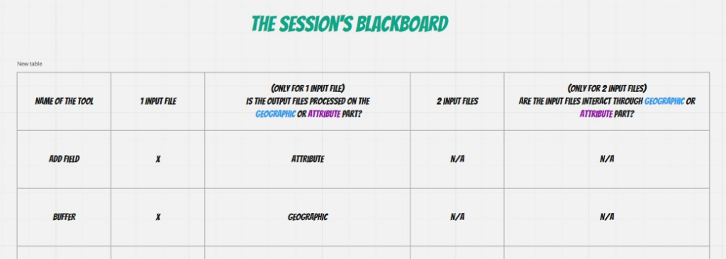
2. Collective work
Access the Miro board and review the tools covered by the previous classes to update the session’s blackboard. Feel free to insert sticky notes to add comments or questions.
3. How to build a workflow?
Here are several guidelines which help you to design a workflow of GIS processing based on a initial question.
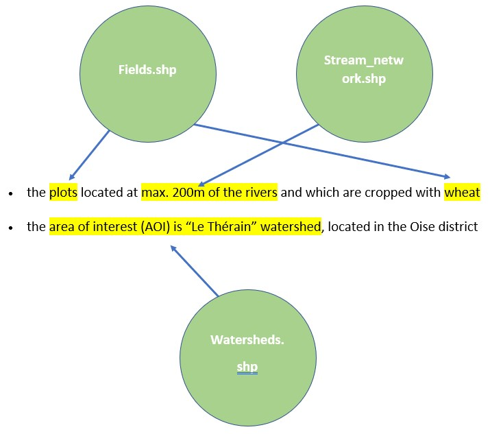
Step 1 – Analyze the instructions
Find the expected criteria (qualitative, quantitative, spatial (such as area of interest)) mentioned in the instructions.
Step 2 – Explore the dataset
Visualize all the files. Explore both geographic and attribute components.
Review the metadata and fill the corresponding table.
Step 3 – Match the instructions
Match the instructions with the dataset.
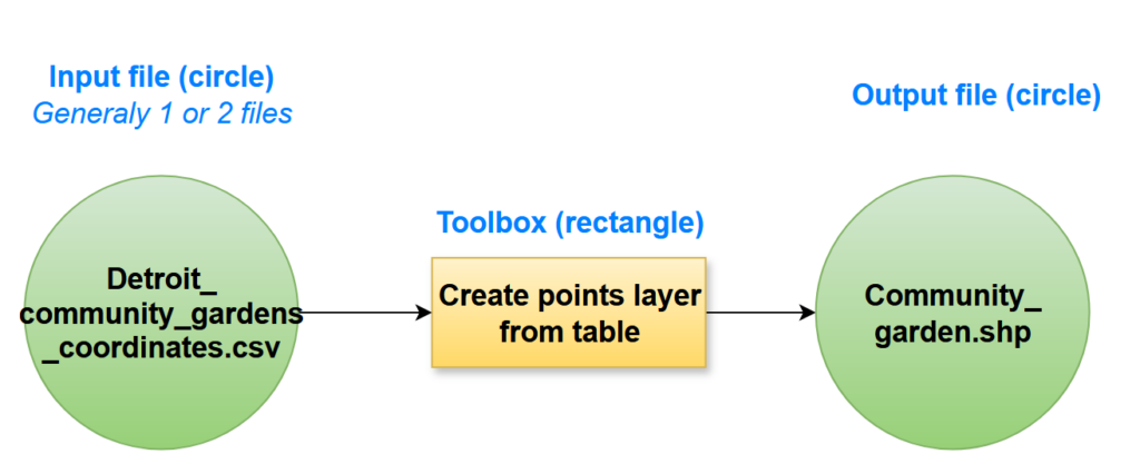
Step 4 – Design the workflow
- Identify the outline of the workflow (what are the main steps?)
- Design the detailed workflow. Respect the following principles:
4. Dataset
The dataset for the 3 next exercices is available below.
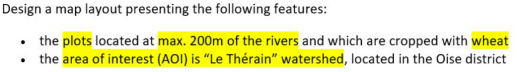
5. Exercise 1
a. Instructions
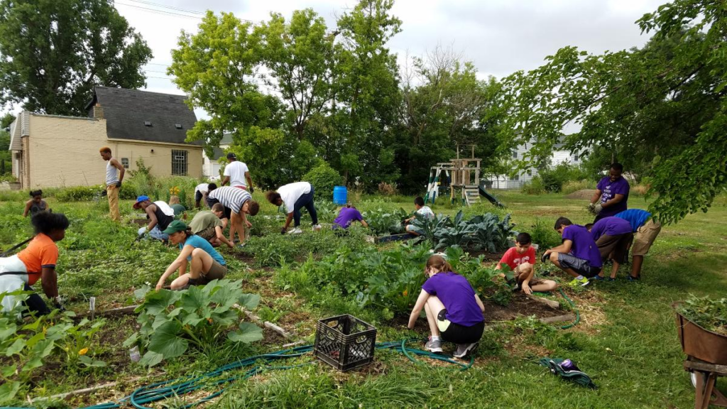
In charge of managing the community gardens* in the City of Detroit (USA), you are asked to design a map of parcels eligible for the creation of new community gardens.
- The area of interest corresponds to the shapefile “AOI.shp”
- The parcels must be owned by the ‘City of Detroit’ (use the exact name).
- These parcels must be separated with a minimum distance of 100 m from the roads presenting an Average Annual Daily Traffic (AADT) equal or greater than 10 000 vehicles/day (to reduce the exposure to traffic air pollution).
Glossary
Community garden: a single piece of land gardened collectively by a group of people. Community gardens utilize either individual or shared plots on private or public land while producing fruit, vegetables, and/or plants grown for their attractive appearance (Wikipedia).
Use the coordinates system WGS84 UTM zone 17N (EPSG: 32617).
b. Design the workflow
Try to design the workflow by yourself. A draft of the workflow is available below. Open the workflow, then click on the pen icon in the bottom toolbar to edit the workflow.

c. Solution
The final workflow can be downloaded below.
6. Exercise 2
a. Instructions
L’exercice 2 est une archive d’un ancien examen. Il permet de vous mettre en conditions réelles.
b. Corrigé
Vous pouvez télécharger le corrigé en cliquant sur ce lien.
7. Exercise 3
a.Instructions
The borough of Bedford (UK) is updating its development scheme. The local authority aims at focusing on the education and health facilities suffering from under-staffing situation. Nevertheless, the current dataset of Health and Education POIs (Points of Interest) is not complete and requires a bit of work.
Your tasks are:
- Delete all empty or redundant fields in the attribute table,
- Create a field named « Category » [text] containing the category of the facility :
- Field « type« =1 corresponds to health service,
- Field « type » = 2 corresponds to education,
- Create a field named « StaffIndex » [integer] that contains the average daily affluence per employee,
- Create a field named « Understaff » [text] that mentions the under-staffing situation. The critical under-staffing status is assessed with an average daily affluence per employee > 20 (means that 1 employee manages more than 20 people per day).
- if the staff index is <= 20, the mention will be ‘Staff OK’
- if the staff index is > 20, the mention will be ‘Understaffed’
b. Design the workflow
Try to design the workflow by yourself.
c. Solution
The final workflow can be downloaded below.